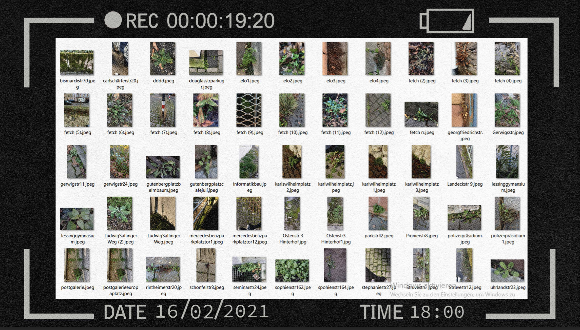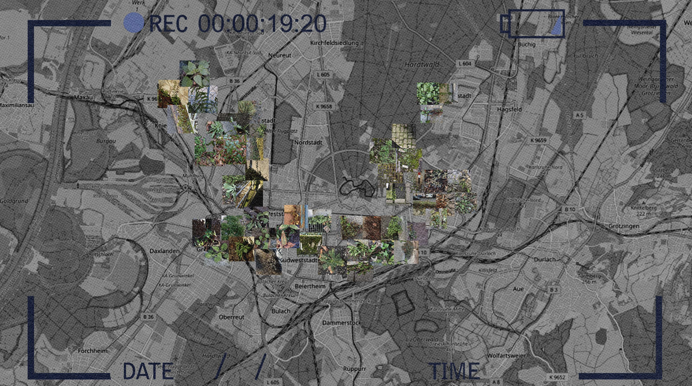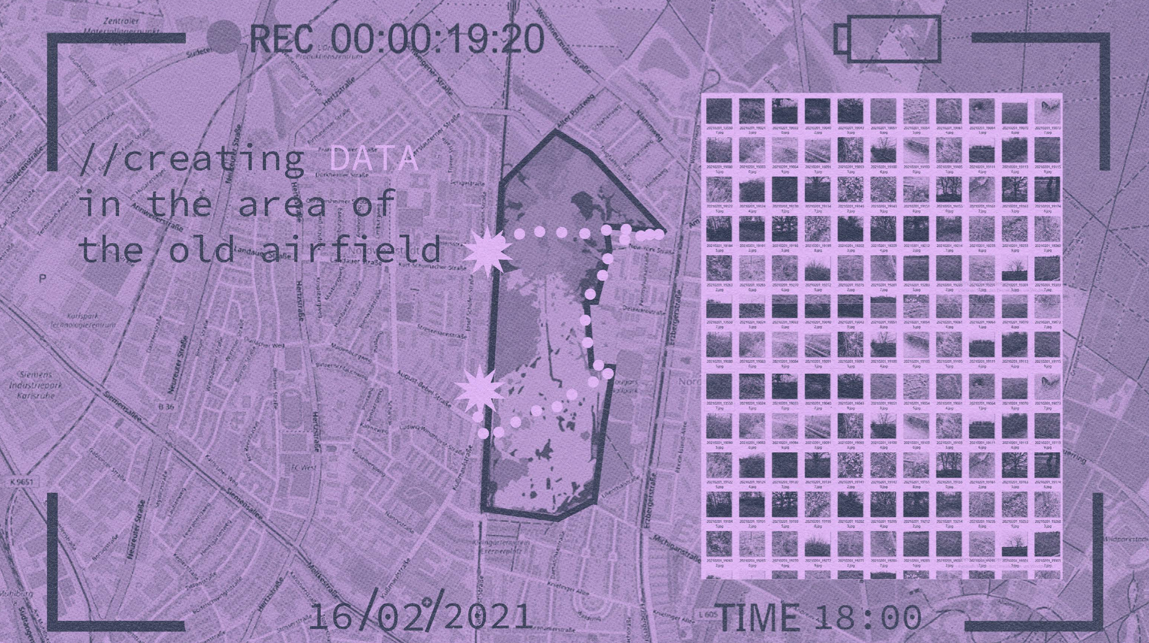
My mapping strategy started by working on a smaller scale within Karlsruhe. I tried to create a sequence of different images in the area of the old Karlsruhe airfield. The idea was to map the created data and understand the area through images. While creating data myself I came to the realization that the amount of created data by a single person in such a short time was not enough. While having a lot of potential, it is more plausible if the data is created by group of people over an extended period of time.
That is how I came to the final step of my mapping strategy. There are already different existing image and video hosting services that provide professional images to be
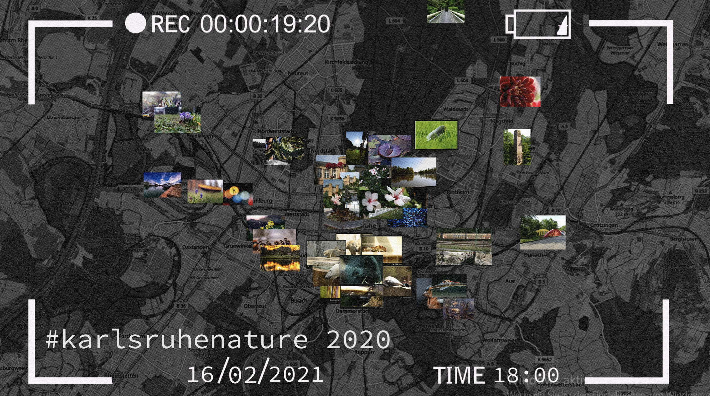
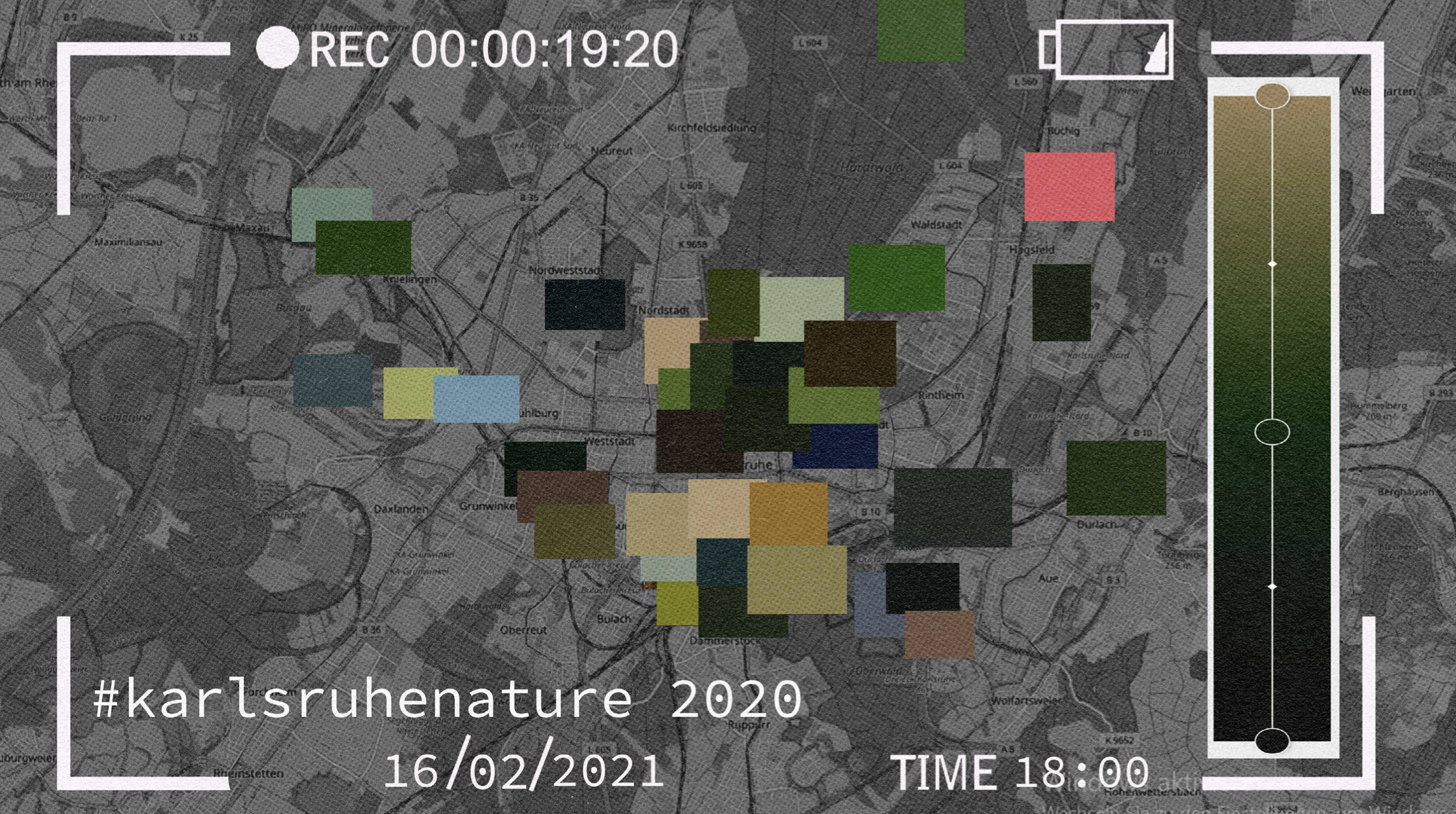
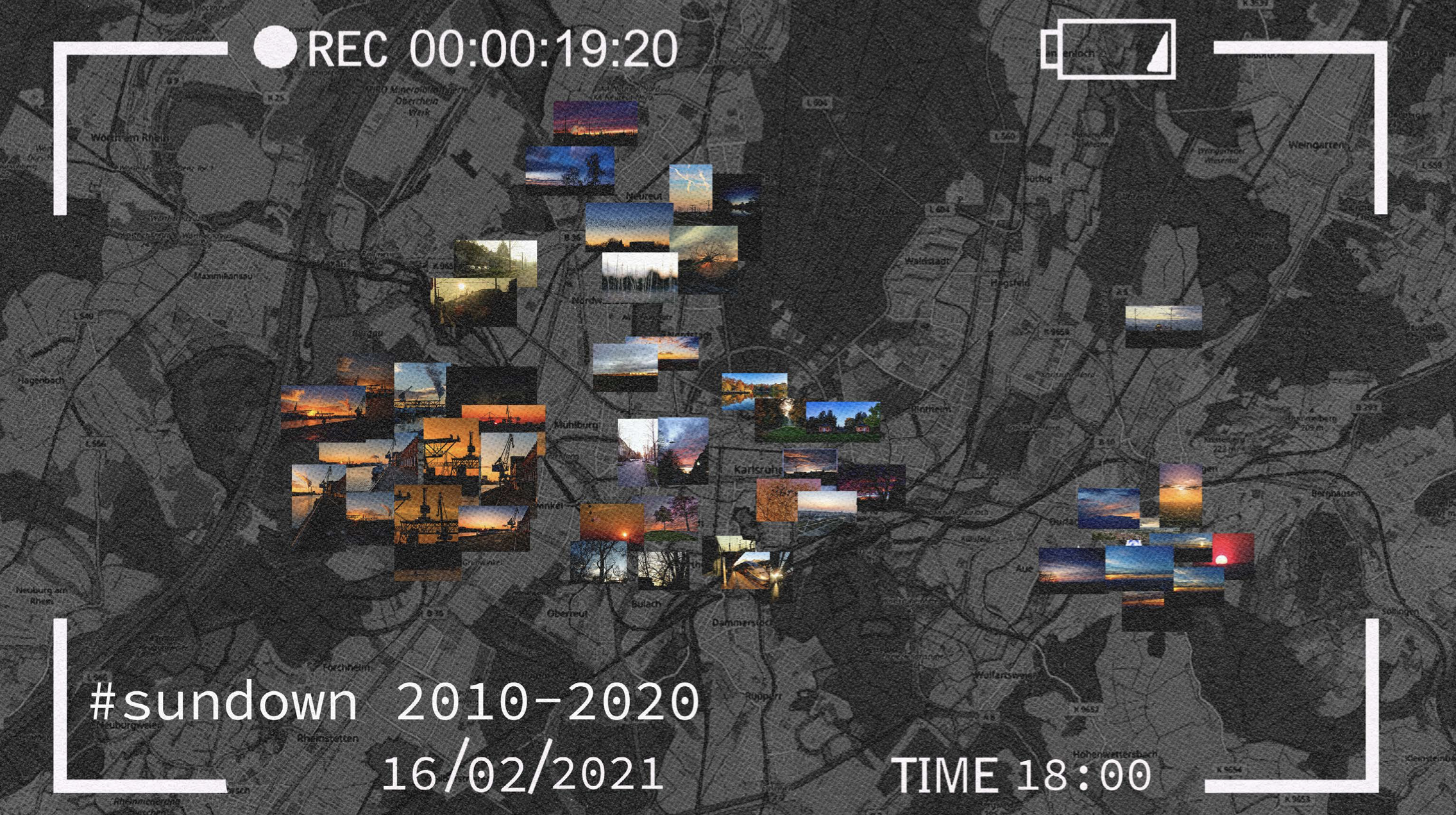
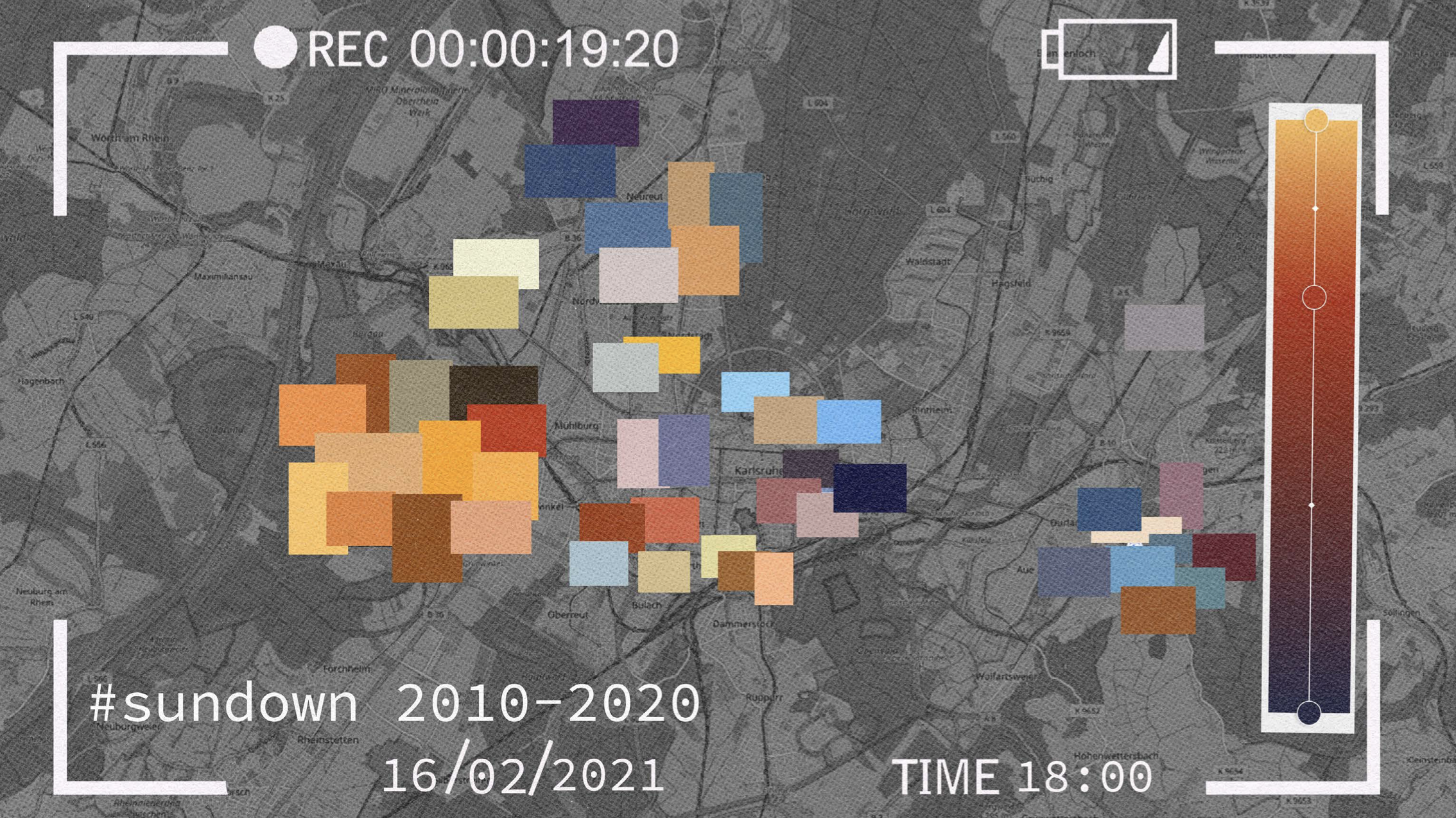
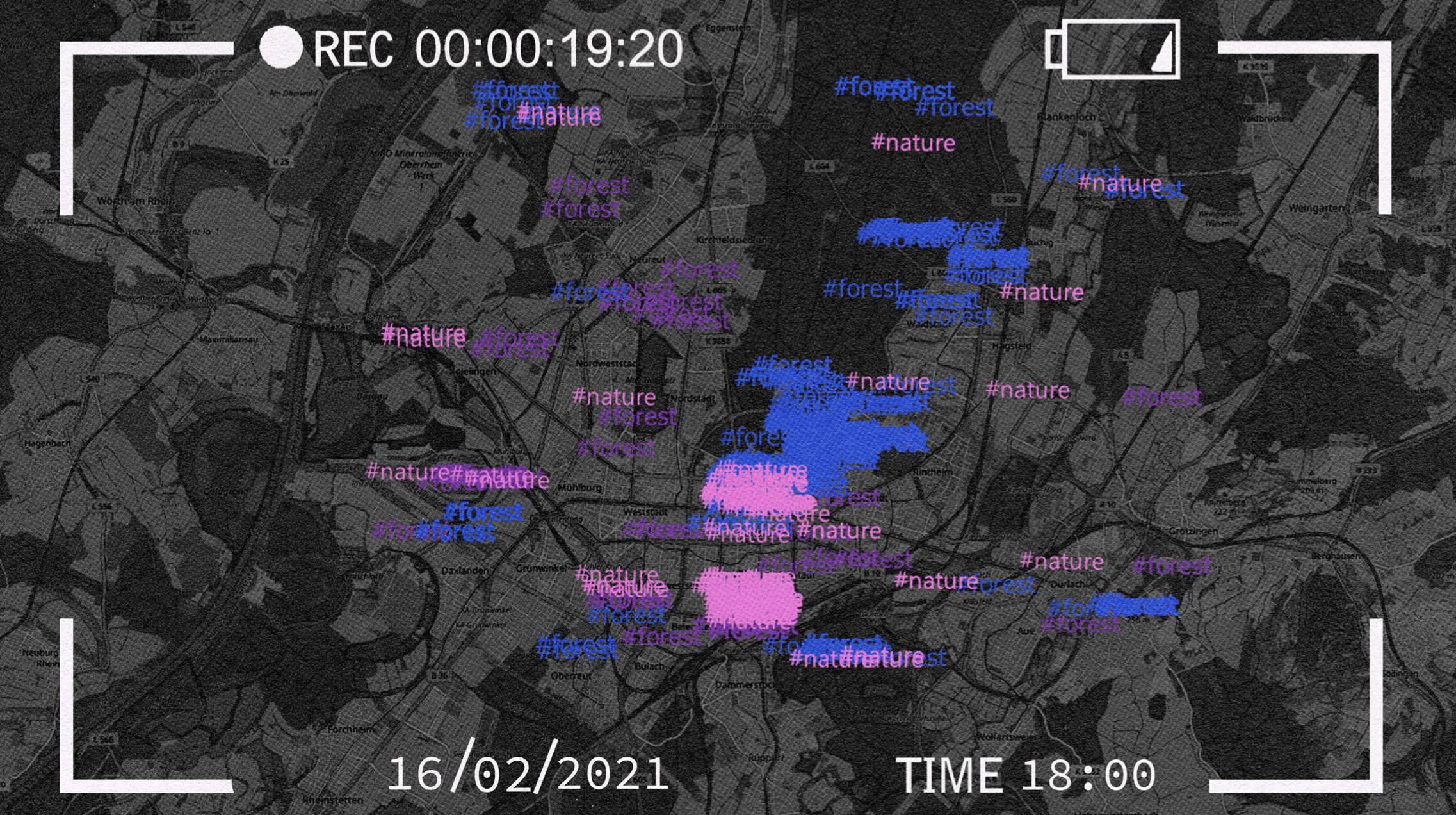
uploaded, but also to be downloaded. One of these image and video hosting websites is "flickr',on which people upload yearly several million images. I changed an existing code to be able to extract Ps hundreds of pictures from "flickr" in a matter of a few seconds.
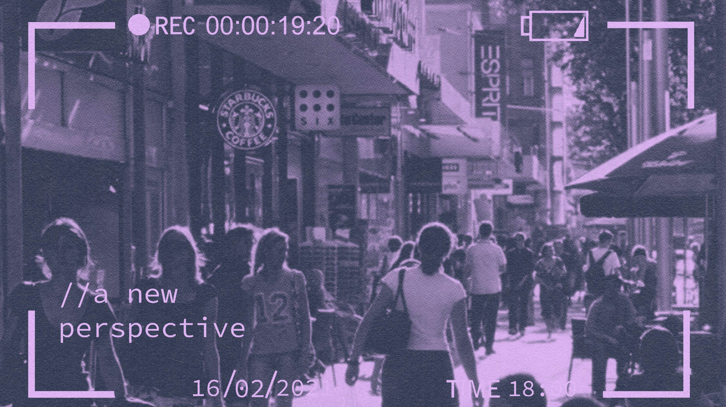
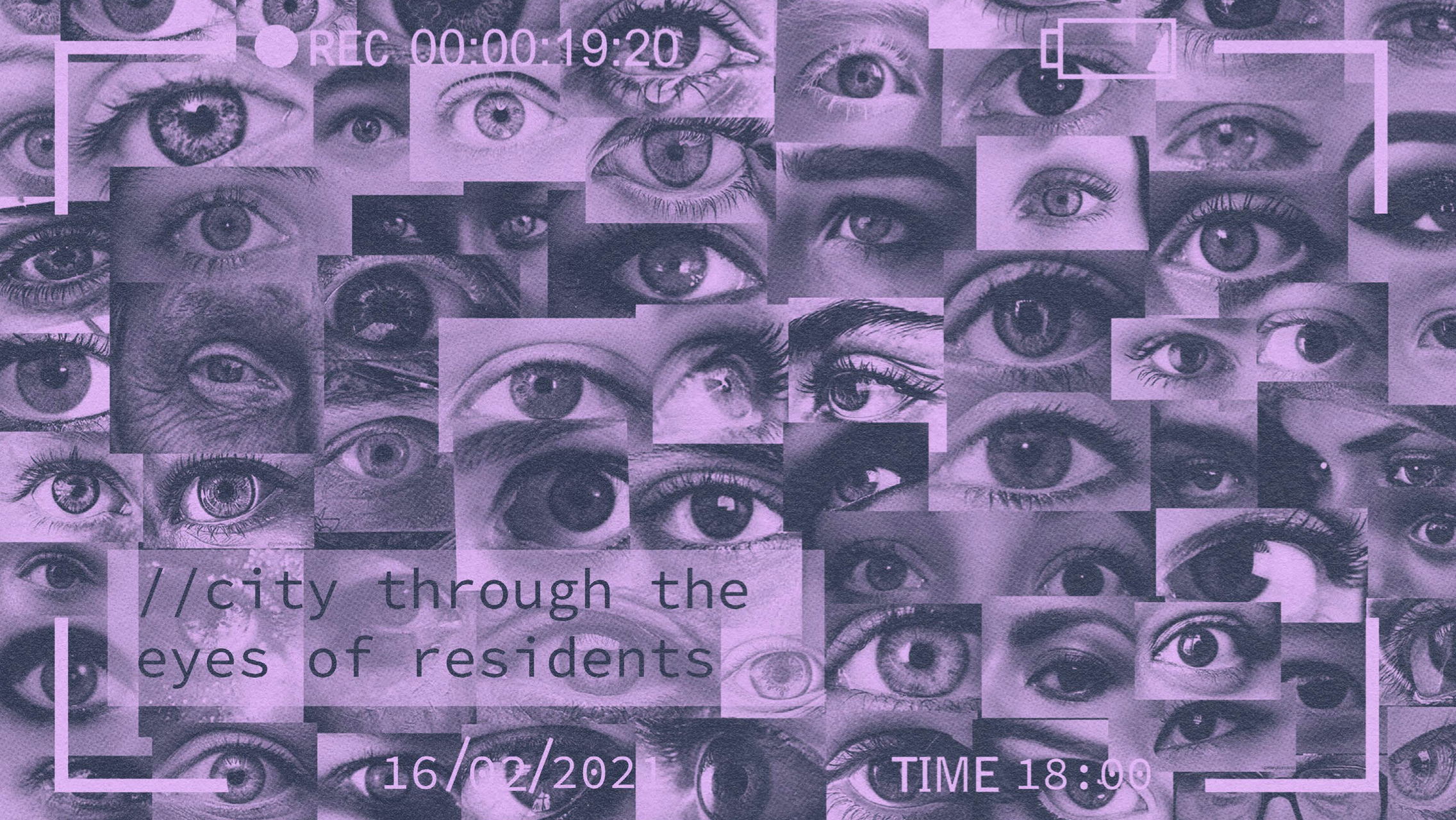
would always alter between the keyword and the time in which the pictures were taken, dating back 10 years ago. The coordinates could also always be changed, in that way it extracts all the pictures with a certain keyword and time taken from that place. The amount of data , would get would always depend on the variables I changed inside of the code. A city should not only be designed to meet the needs of the people living in it, but also the needs of those visiting it. That is the reason including the perspective of every day people inside the city is of the utmost importance. The idea itself could also be taken further by taking the existing images and comparing them to get a better understanding what people find more or less appealing inside a city.