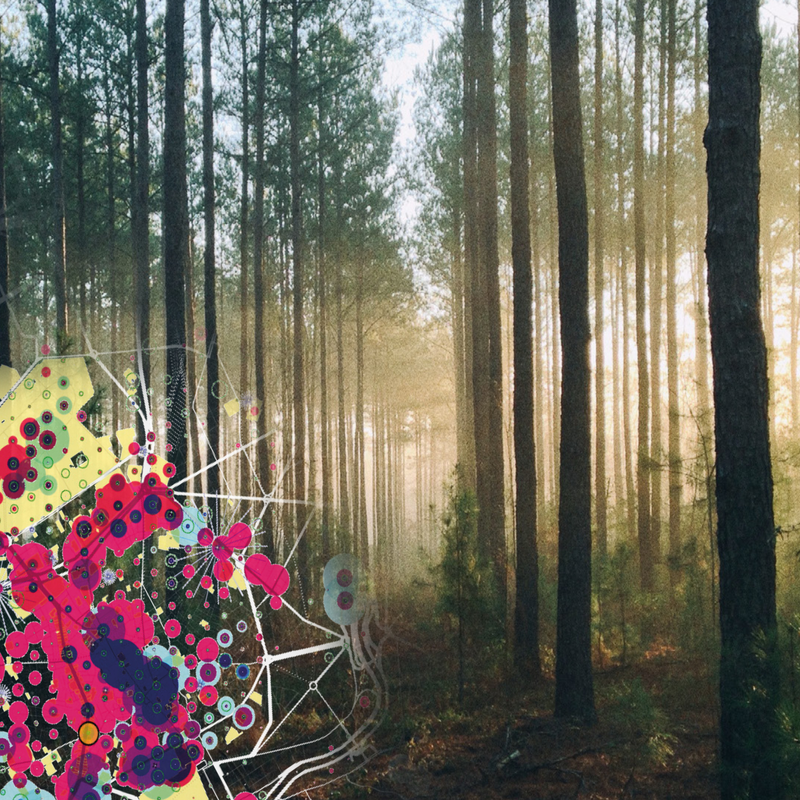
Critical urban challenges of the forthcoming years include transport, nature-based solutions in urban ecology, highly mixed uses, social inclusion or healthy and equitable cities. The mutability of these challenges and the interconnected forces between them are often difficult to track. GIS-Data helps us to analyse, represent and embrace this complexity and portray the results in a new clear graphical manner, that explores new understandings of the urban reality.
Practical GIS tools will be apprehended and the outcome will be critically interpretated. How can architects use them as a design instrument? How can we influence policy makers to make better data-driven urban decisions? Our experimental field is Karlsruhe as a whole cultural, natural, social and constructed ecosystem.
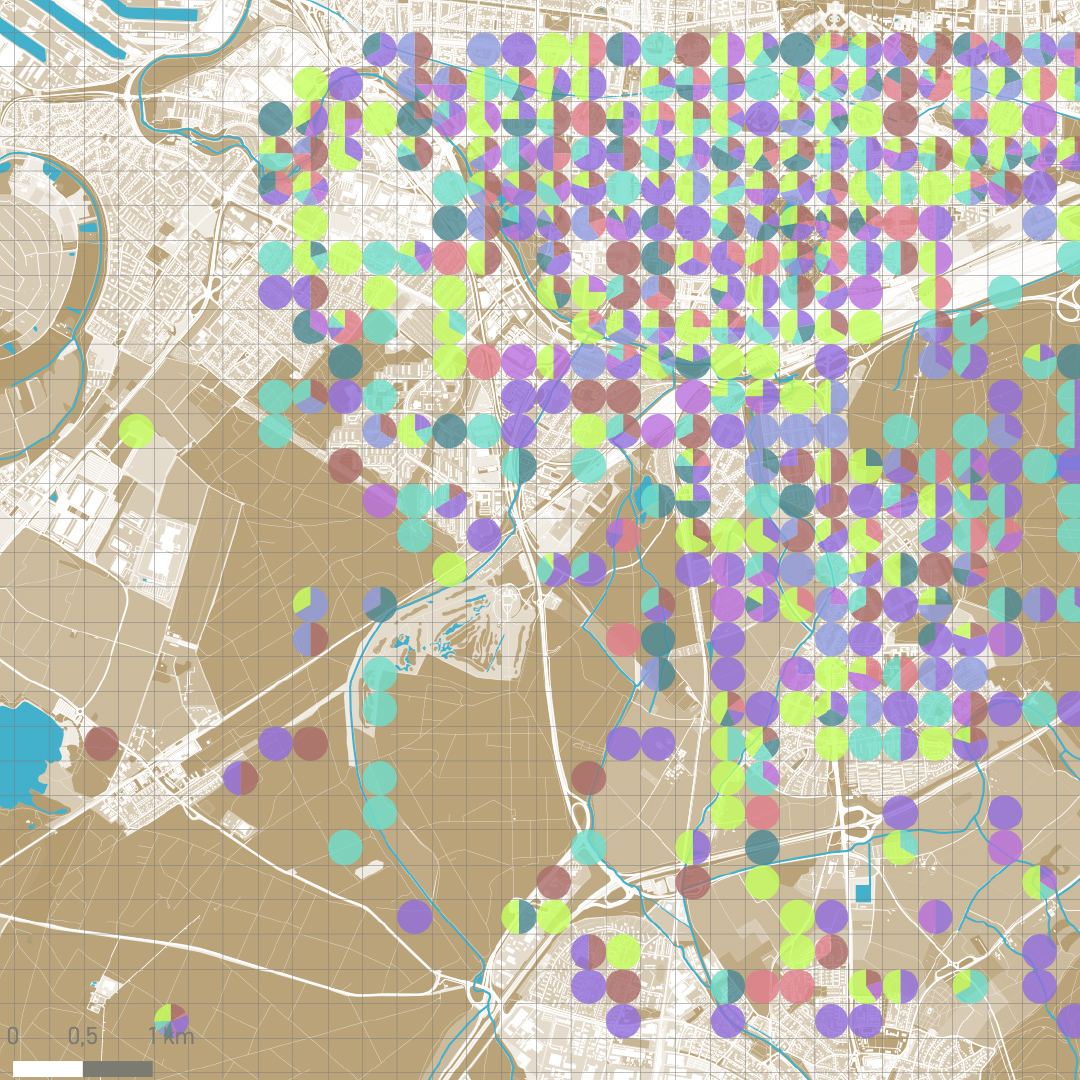
With this Seminar, you will get in contact with GIS tools, practise with some exercises and question the data as well as the obtained results. The teams will be formed by two students. During the first weeks, a research paper has to be composed about the work of an architectural office or researcher that uses big data technology as project tool. At the end of the seminar, a comprehensive set of cartographies has to be developed by each team for the whole city of Karlsruhe and the given research area (see chapter 5. of this document).
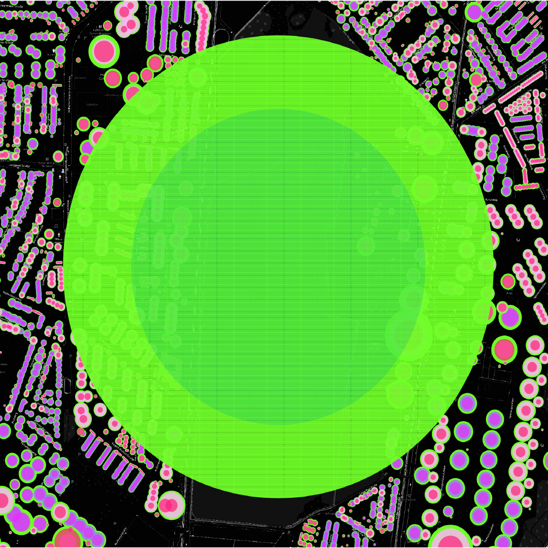
We are looking for mappings that offer new insights of nature within the city, and the possibilities of it to enhance urban resilience. Two simultaneous scales are to be studied, one of the whole of the city of Karlsruhe, and, in parallel, the research area. The comprehension of the whole city as an organism with different elements, and the lec- ture of the research area as an ecosystem itself are central during the seminar.
After this course you will be able to understand the basic concepts of GIS, raster, vector, projections, geoprocessing and analysis. You will be able to use QGIS for basic skills in: thematic mapping, importing tabular data, basic vector-data analysis, finding and using Open Access data, styling and map designing.
Download the new Booklet here!